HOLIDAY MAP SALE - Friends of Joyner Library Maps and Prints
The Friends of Joyner Library have made available prints of historic maps depicting 18th century eastern North Carolina. Please contact us if you are interested in purchasing any of these unique prints.
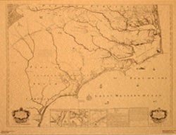
The Edward Moseley Map – 1733

The Edward Moseley Map of North Carolina (1733) extends from Cape Carteret to part of Virginia. It gives a great number of the names of settlers and plantations on Albemarle Sound and the rivers flowing into it, on the Pamlico River, the Neuse River and its tributaries and in the vicinity of the Waccamaw Lake. The map was never printed in an inexpensive, convenient form as far as is known, and there has been no later map to fully detail information about settlers who appear on the Moseley map. The East Carolina University copy of the Moseley Map is the only known original print of this historic map currently extant in the United States. This copy, which disappeared from public view during the mid-nineteenth century, was donated to East Carolina University by Mrs. John W. Graham of Edenton, North Carolina. It is currently on display in the Reading Room of the East Carolina Manuscript Collection in Joyner Library.
Edward Moseley became surveyor general in 1710 and was again appointed in 1723. The Moseley Map influenced the 1738 Wimble map, the 1770 Collet map, and the 1775 Mouzon map.
The print measures 26 x 33 inches and costs $25.00. All proceeds go to the Friends of Joyner Library. A brief description of the map and a list of family names that appear on the map are included with the seal.
Cost $25.00
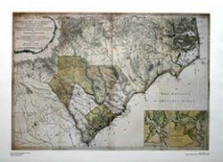
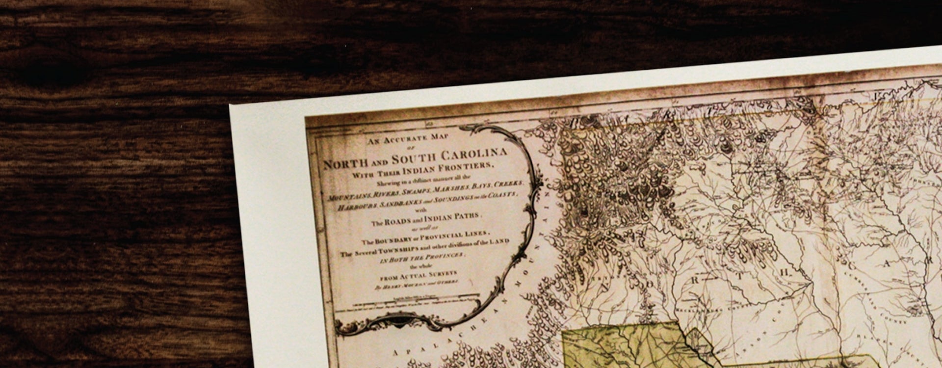
The Henry Mouzon Jr. Map – 1775

The Mouzon Map (1775) depicts North and South Carolina along with parts of Georgia and Indian Territories (now Tennessee). The map shows geographic land formations of the region, including the mountains, rivers, swamps, marshes, bays, creeks, harbors, and sandbars along the coast. Because it was extensively used by American, British, and French military, it is sometimes called the Revolutionary War map of North and South Carolina.
Although evidence remains inconclusive, it is assumed the author of the map to be Henry Mouzon of St. Stephens’s Parish, Craven County, the son of Henry Mouzon Jr.
The print measures 25 x 33 inches, contains some color, and costs $25.00. All proceeds go to the Friends of Joyner Library.
Print cost $25.00
For more information or to purchase please visit:
or contact Charlotte Fitz Daniels at (252) 328-0287 or fitzdanielsc16@ecu.edu

